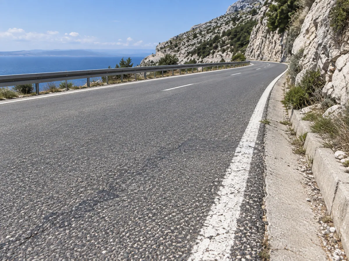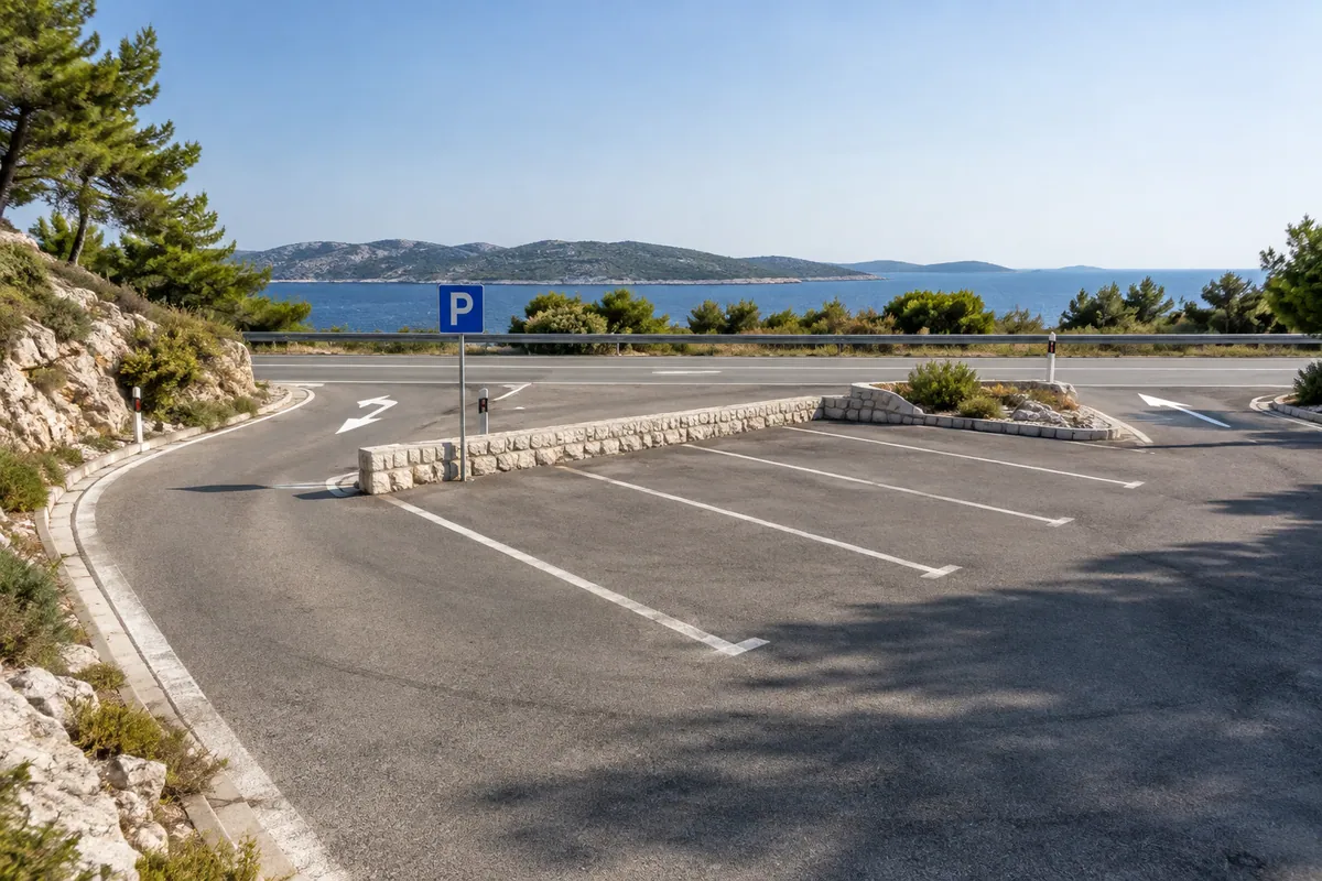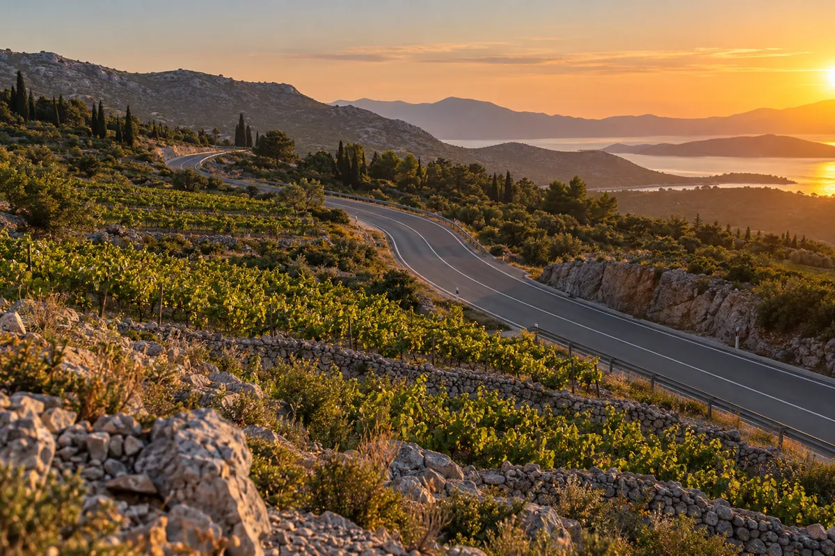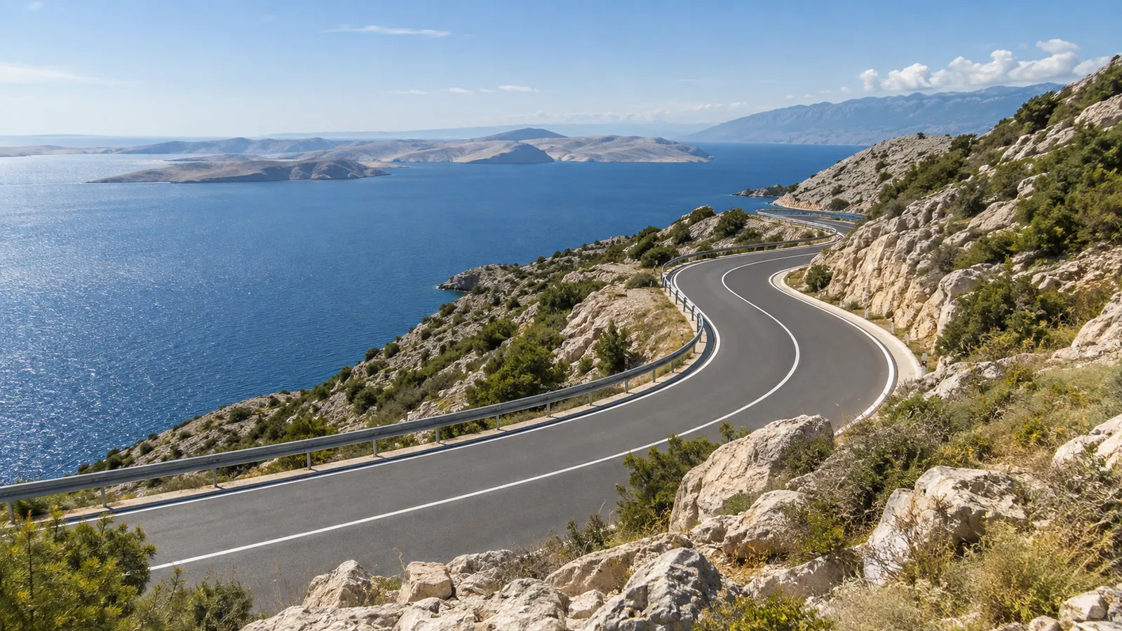
Open bends of Croatia's DC8 trace the Kvarner coast above the Adriatic Sea and offshore islands.

Kvarner and Dalmatian coast, Croatia; Neum, Bosnia and Herzegovina · HR / BA

Adriatic Coastal Road

A long, fully paved ride from Rijeka to Dubrovnik along the Jadranska magistrala, passing through Neum in Bosnia and Herzegovina, with sustained views across the sea and islands.

Desk researched · Current review

Route facts

Distance
615.5 km
Estimated ride
14 hr 30 min
Difficulty
Challenging
Surface
Paved
Recommended season
April–October

GPX download

Download GPX

At a glance

The ride

A long-distance coastal ride with repeated bends, exposed headlands, busy town approaches and sustained Adriatic views.

Best for

  • Riders comfortable with a full day in the saddle
  • Road touring with frequent scenic stops
  • Spring or autumn coastal travel

Highlights

  • Kvarner and Dalmatian coastal bends
  • Sea and island views
  • The Neum coastal section and border crossings
  • Arrival in Dubrovnik

Before you set off

Practical details

Road type
Primary, Secondary
Borders
Klek / Neum I (HR to BA), Neum II / Zaton Doli (BA to HR)
Tolls
None
Ferry
Not required

Before you ride

Check current road conditions

Road closures, works and weather restrictions can change without a site update. Check the relevant road authorities shortly before departure and follow local signs and instructions. These links do not confirm that this route is open.

GPX track

Route map

The track runs from A · Rijeka to B · Dubrovnik. The interactive map is a supplementary view of the route information and GPX track.

Map loads when it enters the visible page area.

OpenFreeMap © OpenMapTiles Data from OpenStreetMap

If the interactive map is unavailable, use the route details, elevation profile, and original GPX track provided on this page.

Download the GPX track

GPX elevation data

Elevation profile

The route starts at 11 m and finishes at 28 m. It climbs 10874 m and descends 10858 m, ranging from -5 m to 369 m above sea level.

Total ascent
10874 m
Total descent
10858 m
Lowest point
-5 m
Highest point
369 m
Elevation along the routeThe route starts at 11 m and finishes at 28 m. It climbs 10874 m and descends 10858 m, ranging from -5 m to 369 m above sea level.369 m-5 mStartFinish
Elevation sampled in GPX track order, from start to finish.

Route stages and important stops

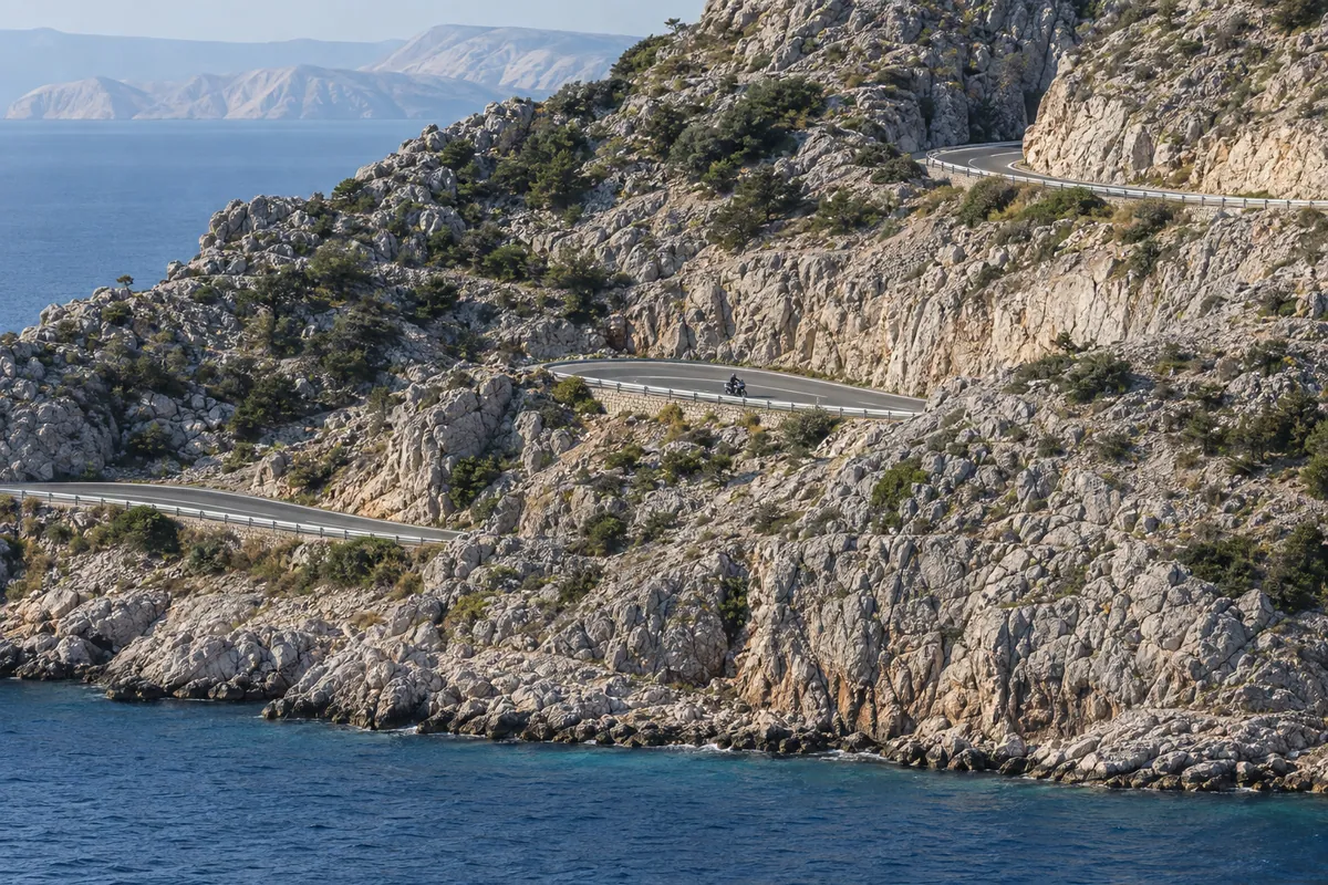
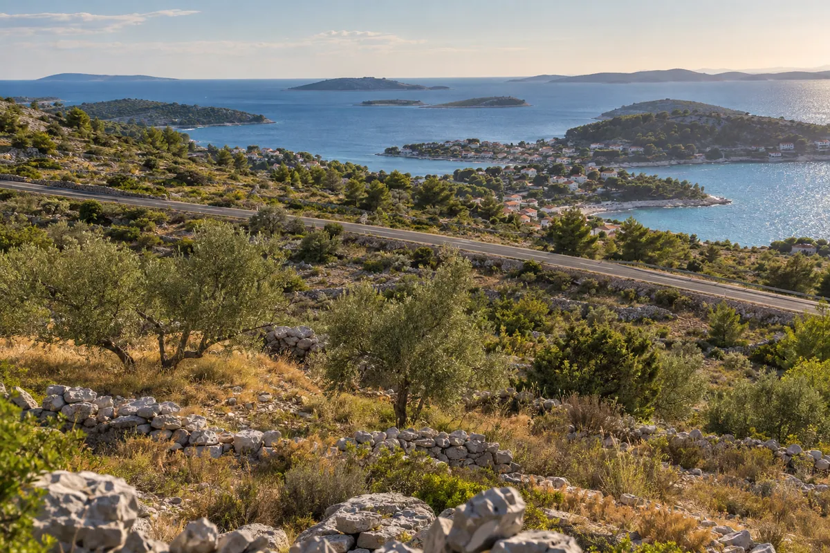
Known locally as the Jadranska magistrala, this point-to-point route follows the Adriatic coast from Rijeka to Dubrovnik, including a short section through Neum in Bosnia and Herzegovina. The supplied track runs south through the Kvarner and Dalmatian coastal corridor, combining long sea-facing sections with repeated climbs around headlands and broad views toward the islands. It is an asphalt road throughout, but its 616 km length, dense summer traffic and continuous sequence of bends make it a demanding full ride rather than a short scenic detour.

South of Ploče, the supplied GPX follows the coastal road through Neum in Bosnia and Herzegovina. It crosses from Croatia into Bosnia and Herzegovina at Klek / Neum I and returns to Croatia at Neum II / Zaton Doli before continuing towards Dubrovnik. Allow extra time for border checks and check current entry requirements for your nationality, motorcycle and insurance before departure.

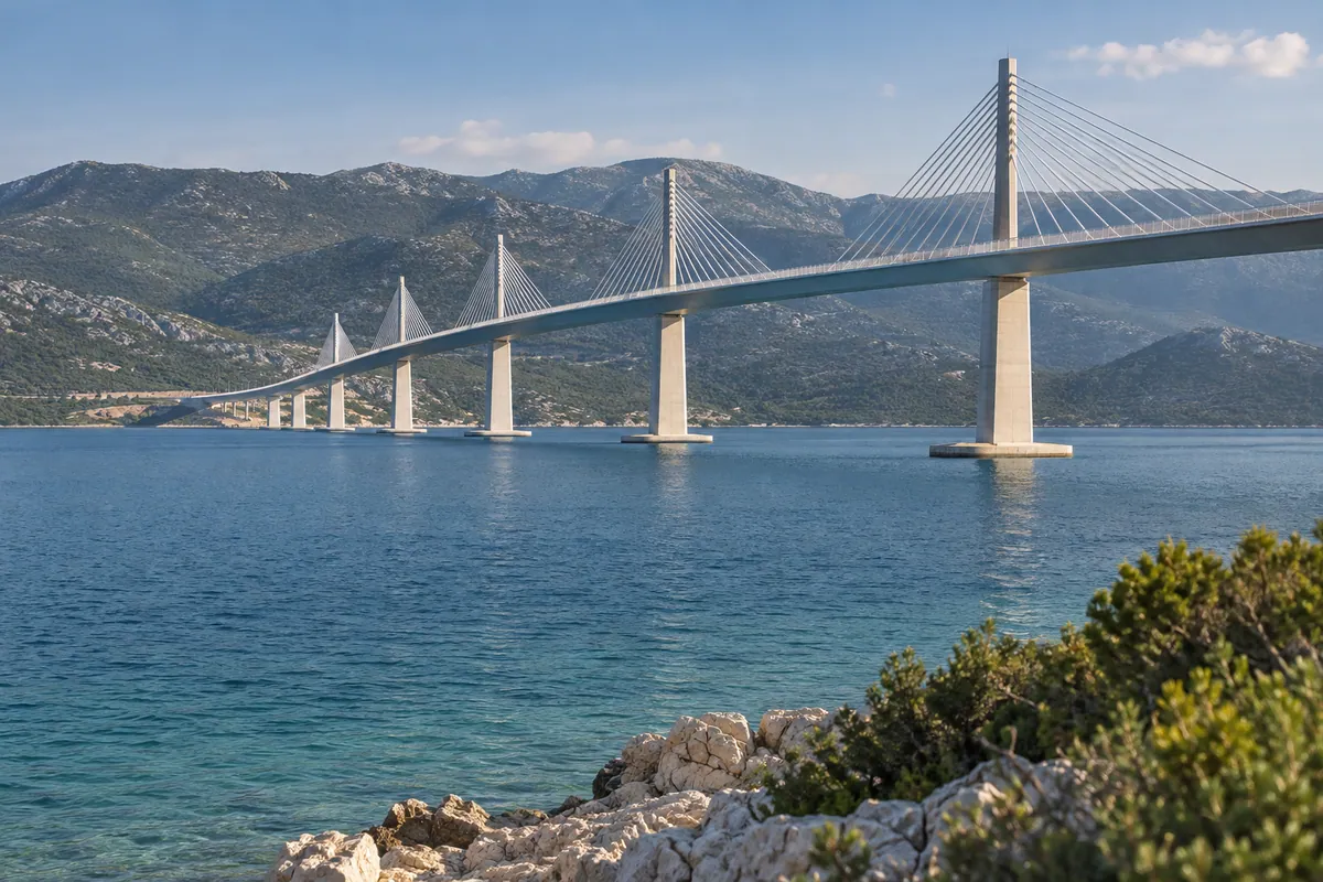
Alternative via Pelješac Bridge

The Pelješac Bridge and Ston road connection provide an alternative that avoids the Neum border crossings, but they are not part of the route recorded in this GPX. Riders choosing that variant should use a separate, current navigation route rather than assuming that the downloadable track follows the bridge.

Fuel, services and practical notes

Allow at least 14 hours of moving and stop time for the complete recorded track, and consider splitting it into two days. Fuel, food and accommodation are widely available in the coastal towns, but busy urban approaches can add substantial time. Start with a full tank, plan rest stops away from exposed bends, and carry water during the hotter months.

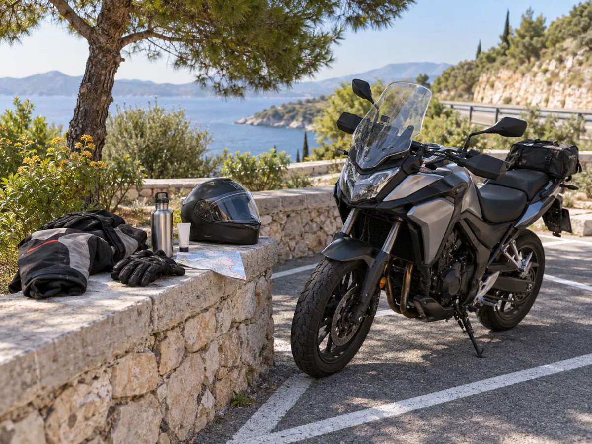
The riding season shown here is a planning recommendation rather than a legal closure period. Spring and autumn usually avoid the heaviest holiday traffic, while exposed sections still require a current wind and weather check. Use the road-condition links above to check HAK for the Croatian sections and BIHAMK for the section through Neum shortly before departure, including works, congestion and weather restrictions. Croatian law requires riders and passengers to wear a homologated, correctly fastened helmet, and the Ministry of the Interior advises protective clothing, lights and speed suited to surface, visibility and traffic.
Transparency

Sources and provenance

Editorial sources

TwistAtlas ride preparation

Adriatic Coastal Road

A long, fully paved ride from Rijeka to Dubrovnik along the Jadranska magistrala, passing through Neum in Bosnia and Herzegovina, with sustained views across the sea and islands.

Route page: https://www.twistatlas.com/routes/adriatic-coastal-road/

Key facts

Start
Rijeka
Finish
Dubrovnik
Distance
615.5 km
Estimated ride
14 hr 30 min
Difficulty
Challenging
Surface
Paved
Recommended season
April–October
Road type
Primary, Secondary
Borders
Klek / Neum I (HR to BA), Neum II / Zaton Doli (BA to HR)
Tolls
None
Ferry
Not required

Warnings and current conditions

Conditions, closures and restrictions can change. Check the current road information shortly before departure and follow local signs and instructions.

Verification

Method
Desk researched
Last reviewed
16 September 2026
Review status
Current

Editorial sources

The interactive map is intentionally omitted from this preparation sheet. Use the route page and GPX track for the route line.