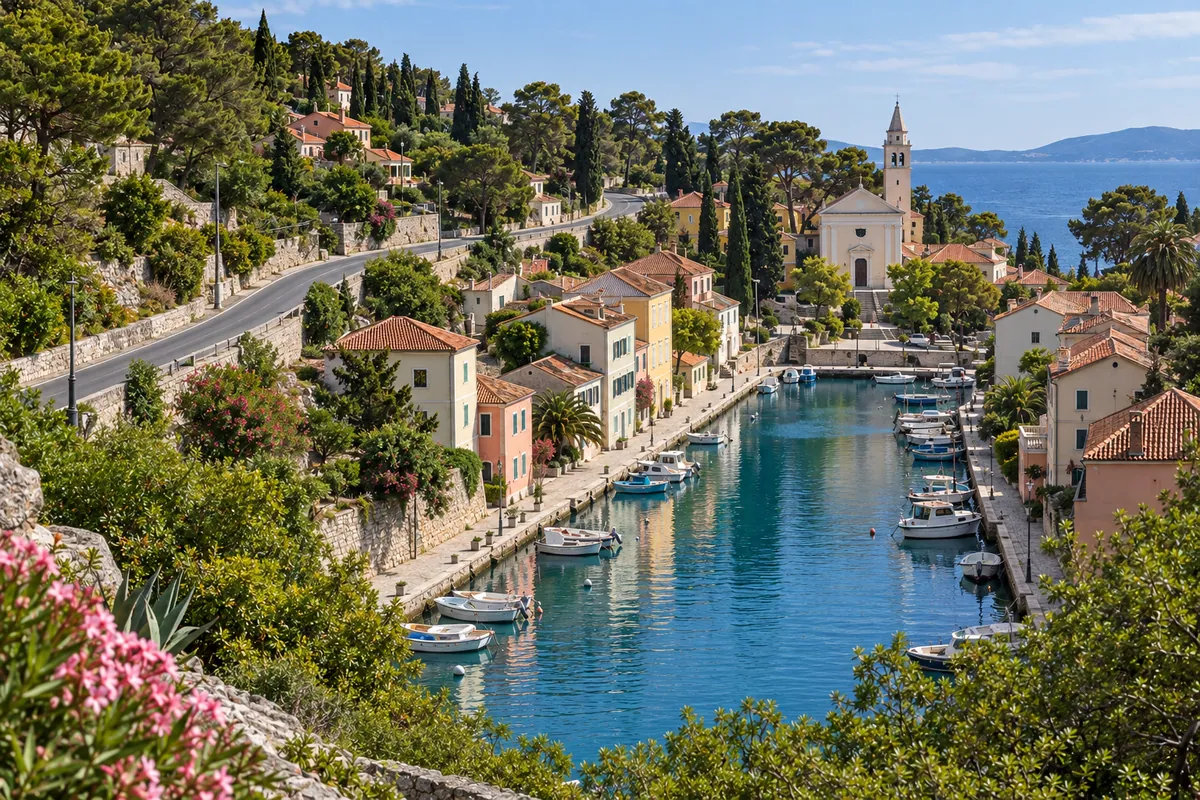
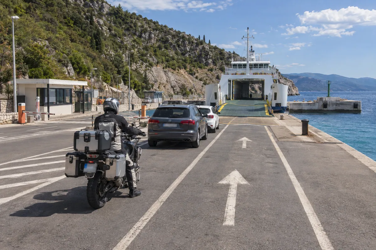
A paved island crossing that moves from the exposed, rocky north of Cres to the greener and more settled roads of Lošinj.
Best for
Relaxed road touring
Riders combining a ferry journey with an island ride
Scenic stops in historic island towns
Highlights
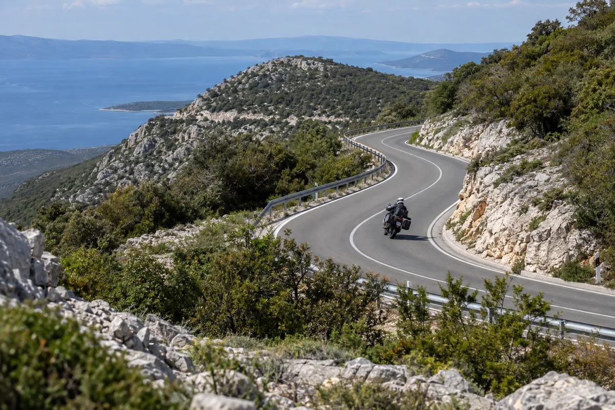
Northern Cres climbs and coastal bends
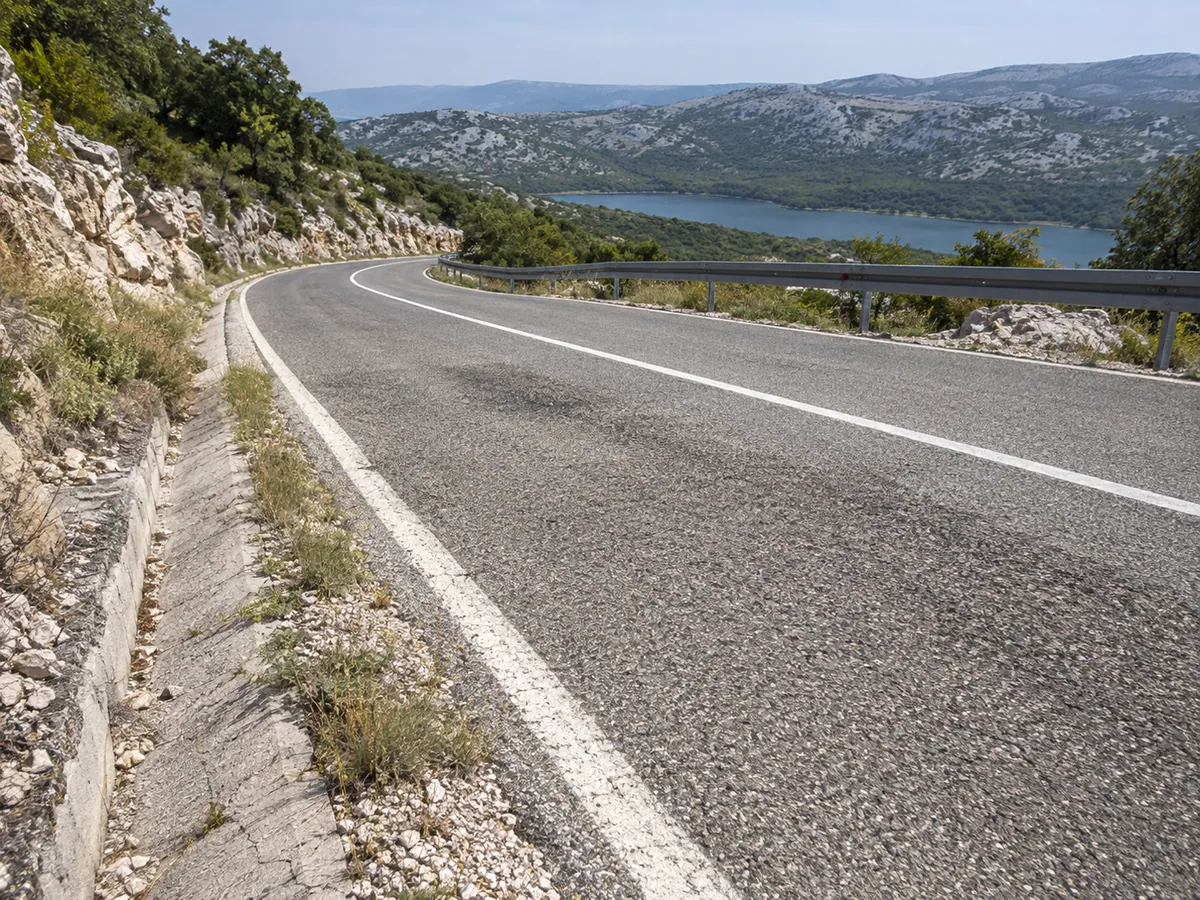
Lake Vrana landscape
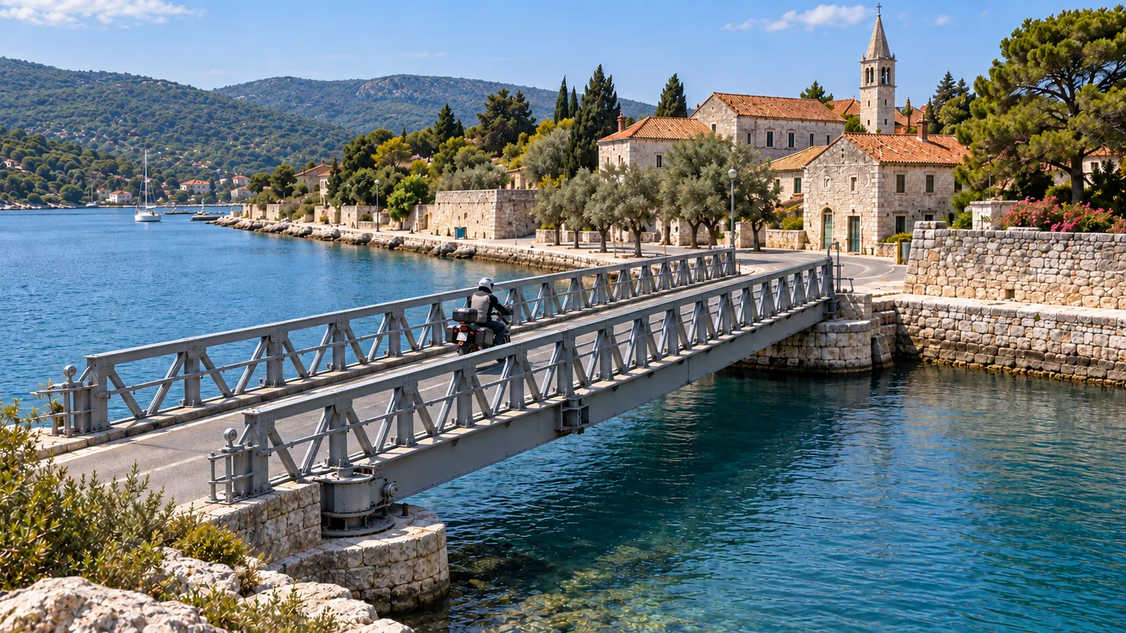
Osor and its movable bridge
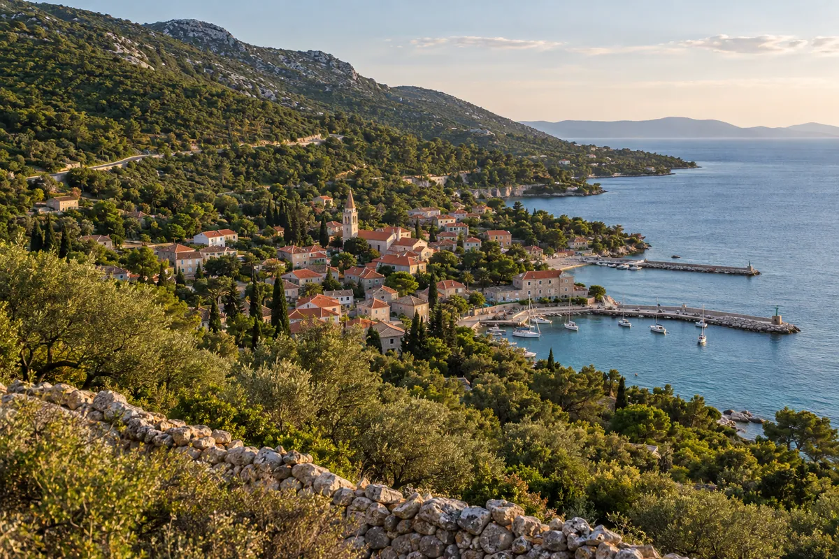
Mali Lošinj and Veli Lošinj
Before you set off
Practical details
Road type
Primary, Local
Borders
No border crossings
Tolls
None
Ferry
Required
Before you ride
Check current road conditions
Road closures, works and weather restrictions can change without a site update. Check the relevant road authorities shortly before departure and follow local signs and instructions. These links do not confirm that this route is open.
The route starts at 9 m and finishes at 13 m. It climbs 1909 m and descends 1906 m, ranging from -2 m to 449 m above sea level.
Total ascent
1909 m
Total descent
1906 m
Lowest point
-2 m
Highest point
449 m
Elevation sampled in GPX track order, from start to finish.
Route stages and important stops
This point-to-point ride begins at Porozina ferry port in the north of Cres and follows the islands’ main road south through Cres, Osor, Nerezine and Mali Lošinj before finishing in Veli Lošinj. The City of Cres identifies D100 as the principal road from Porozina to Veli Lošinj, crossing both Cres and Lošinj for 80.3 km. The supplied 86 km track adds local streets through the main settlements and the final approach in Veli Lošinj.
The northern part of Cres supplies the route’s most sustained sequence of climbs, descents and bends. Farther south, D100 passes the freshwater Lake Vrana area, reaches the historic town of Osor and crosses the narrow channel onto Lošinj by a movable bridge. The landscape gradually changes from the sparse, exposed north of Cres to the lower and more settled roads around Mali and Veli Lošinj.
Fuel, services and practical notes
Allow around three hours for the recorded route before longer stops. The surface is asphalt throughout, with fuel, food and services available in Cres, Nerezine and Mali Lošinj. Begin with enough fuel for the northern section and avoid rushing after disembarking with ferry traffic. There are no road tolls on the recorded track, but the vehicle ferry is paid separately.
The most direct access to the start is Jadrolinija’s Brestova–Porozina vehicle ferry. Sailing frequency and fares can change by season, and boarding remains subject to capacity. Check Jadrolinija’s line 334 page for the current timetable and fare, and use the road-condition link above for HAK’s latest report shortly before departure. The movable Osor bridge can temporarily stop road traffic for marine crossings; confirm its opening times locally.