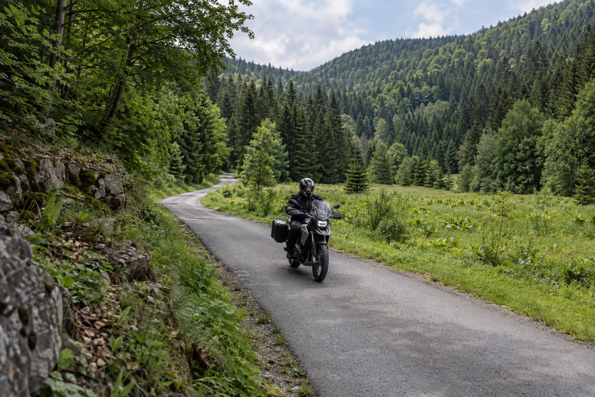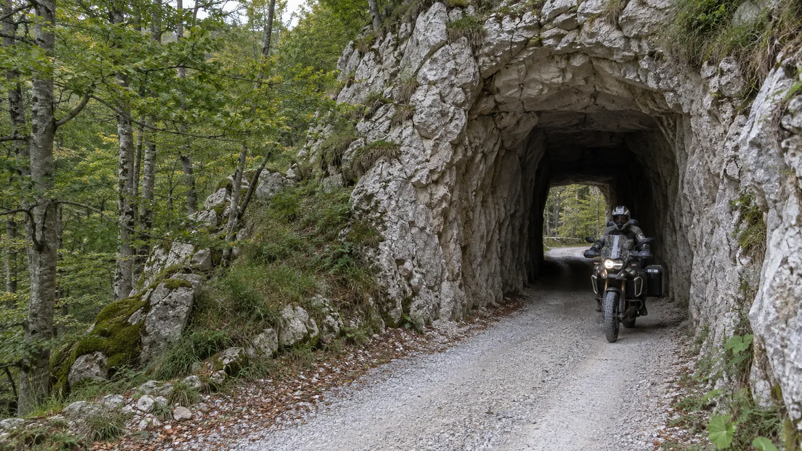
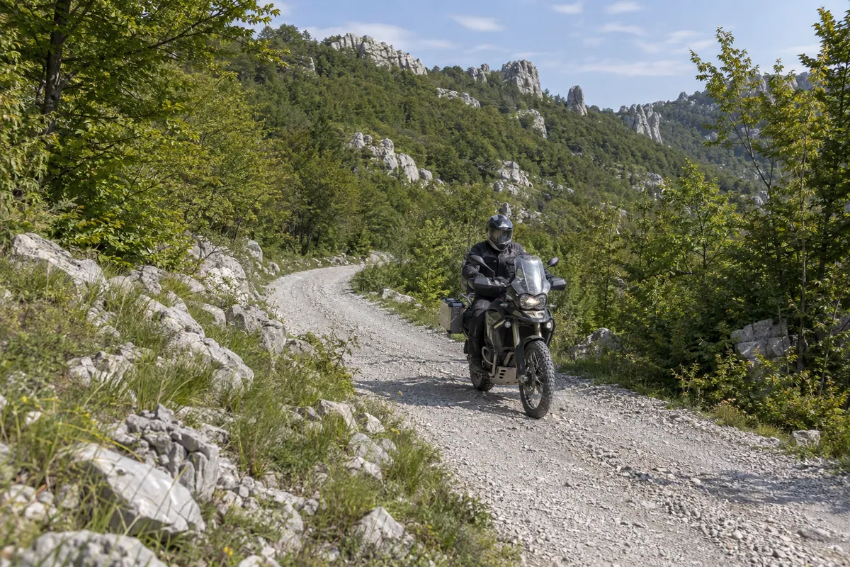
An adventure motorcycle exits a short rock tunnel on the pale gravel Dabarska Road beneath Velebit forest.

Northern and Central Velebit, Croatia · HR

Dabarska Road

A mixed-surface adventure route from Senj to Karlobag, climbing from the Adriatic into Velebit before following remote gravel beneath the Dabarski kukovi.

Desk researched · Current review

Route facts

Distance
102.7 km
Estimated ride
5 hr
Difficulty
Moderate
Surface
Mixed
Recommended season
May–October

GPX download

Download GPX

At a glance

The ride

A remote mixed-surface mountain crossing that links Adriatic approaches with high forest, limestone gravel and the Dabarski kukovi landscape.

Best for

  • Adventure and dual-sport motorcycles
  • Riders prepared for changing gravel conditions
  • Remote mountain scenery

Highlights

  • The climb from Sveti Juraj through Krasno
  • Štirovača valley and forest
  • Gravel beneath the Dabarski kukovi
  • The descent to Karlobag

Before you set off

Practical details

Road type
Secondary, Local, Mountain pass, Gravel
Borders
No border crossings
Tolls
None
Ferry
Not required

Before you ride

Check current road conditions

Road closures, works and weather restrictions can change without a site update. Check the relevant road authorities shortly before departure and follow local signs and instructions. These links do not confirm that this route is open.

GPX track

Route map

The track runs from A · Senj to B · Karlobag. The interactive map is a supplementary view of the route information and GPX track.

Map loads when it enters the visible page area.

OpenFreeMap © OpenMapTiles Data from OpenStreetMap

If the interactive map is unavailable, use the route details, elevation profile, and original GPX track provided on this page.

Download the GPX track

GPX elevation data

Elevation profile

The route starts at 5 m and finishes at 21 m. It climbs 3463 m and descends 3446 m, ranging from 3 m to 1292 m above sea level.

Total ascent
3463 m
Total descent
3446 m
Lowest point
3 m
Highest point
1292 m
Elevation along the routeThe route starts at 5 m and finishes at 21 m. It climbs 3463 m and descends 3446 m, ranging from 3 m to 1292 m above sea level.1292 m3 mStartFinish
Elevation sampled in GPX track order, from start to finish.

Route stages and important stops

The recorded route leaves the Adriatic at Senj, follows the coast briefly to Sveti Juraj and then climbs into Velebit through Oltari and Krasno. The paved approach changes the character of the ride quickly: sea-level bends give way to cooler forest, tighter mountain roads and the broad green valley of Štirovača, which lies at roughly 1,100 metres and is known for its conifer forest, wet grasslands and spring.

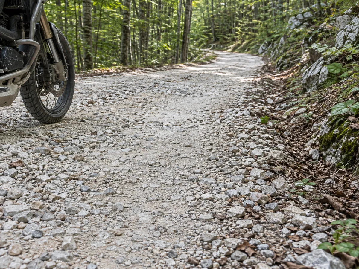
Beyond Štirovača, the middle of the route is the reason to ride it. The track follows the remote gravel road along central Velebit toward Kugina kuća, a former forestry lodge beside the longitudinal road from Sušanj through the Dabarski kukovi area. Pale limestone gravel, dense beech forest and open karst alternate below a chain of distinctive rock formations that extends for about 10 kilometres. Two short passages cut through the rock form the route’s most recognisable road feature.

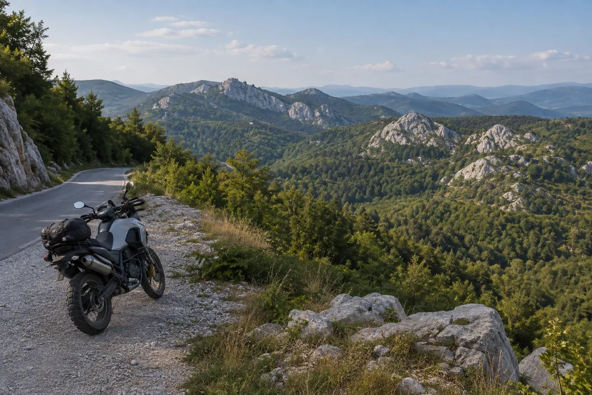
At Dabarska kosa, the Sušanj–Štirovača road crosses the Premužić Trail. The surrounding views open across the forested karst and the Dabarski kukovi landscape; Ravni Dabar belongs to that wider setting but is not treated here as an obligatory off-route stop. The route then leaves the high ground, returns to asphalt and descends through Sušanj Cesarički toward Karlobag, bringing the Adriatic back into view at the end of a ride defined by the transition from coast to forest, remote gravel and limestone.

Fuel, services and practical notes

This is a mixed-surface route suited to adventure and dual-sport motorcycles. A road-biased adventure bike can be appropriate in dry, maintained conditions, but the unpaved section should not be assumed to be uniformly easy. Loose stone, ruts, washouts and traction can change after rain, snow, erosion or road maintenance. The moderate rating describes the planned route as a whole; it is not a current assessment of every gravel kilometre.

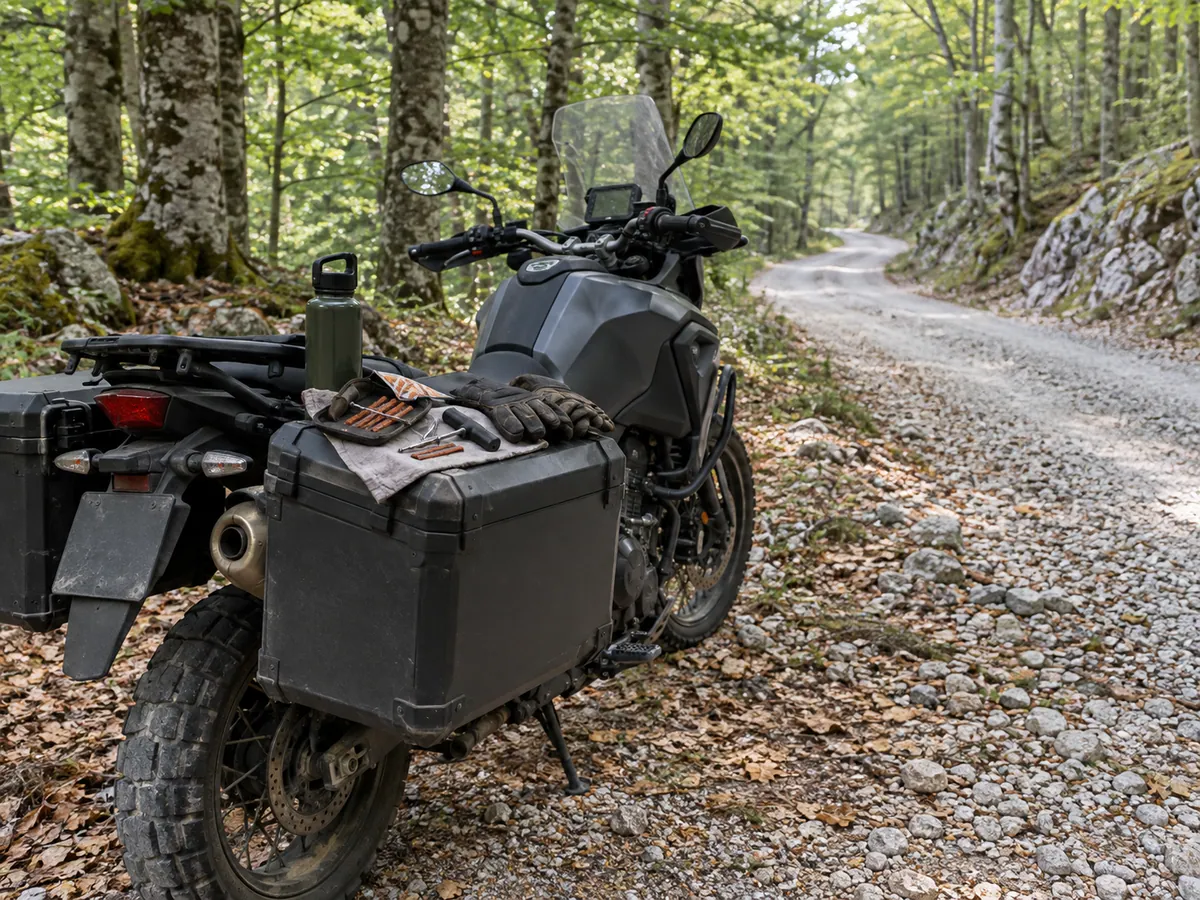
Allow about five hours for the recorded track before longer stops. Carry water, basic tools and puncture-repair equipment, and leave enough daylight and weather margin for the central Velebit section. The May–October season shown here is planning guidance rather than a statement that the road is open or clear throughout those months. Check the latest weather and HAK road information before departure, and turn back if conditions, restrictions or your motorcycle and tyres make the unpaved section unsuitable.
Transparency

Sources and provenance

Editorial sources

TwistAtlas ride preparation

Dabarska Road

A mixed-surface adventure route from Senj to Karlobag, climbing from the Adriatic into Velebit before following remote gravel beneath the Dabarski kukovi.

Route page: https://www.twistatlas.com/routes/dabarska-road/

Key facts

Start
Senj
Finish
Karlobag
Distance
102.7 km
Estimated ride
5 hr
Difficulty
Moderate
Surface
Mixed
Recommended season
May–October
Road type
Secondary, Local, Mountain pass, Gravel
Borders
No border crossings
Tolls
None
Ferry
Not required

Warnings and current conditions

Conditions, closures and restrictions can change. Check the current road information shortly before departure and follow local signs and instructions.

Verification

Method
Desk researched
Last reviewed
20 September 2026
Review status
Current

Editorial sources

The interactive map is intentionally omitted from this preparation sheet. Use the route page and GPX track for the route line.