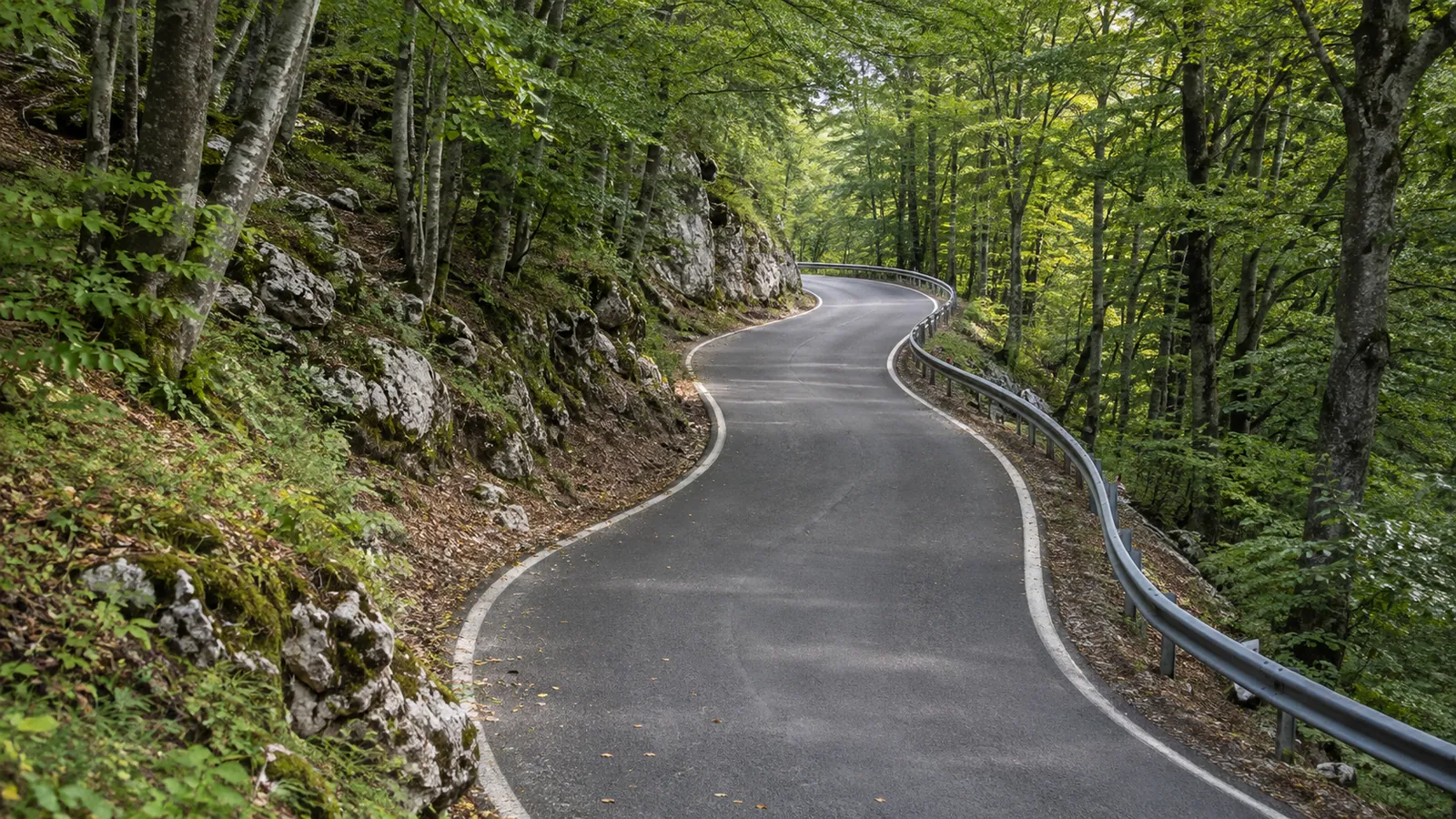
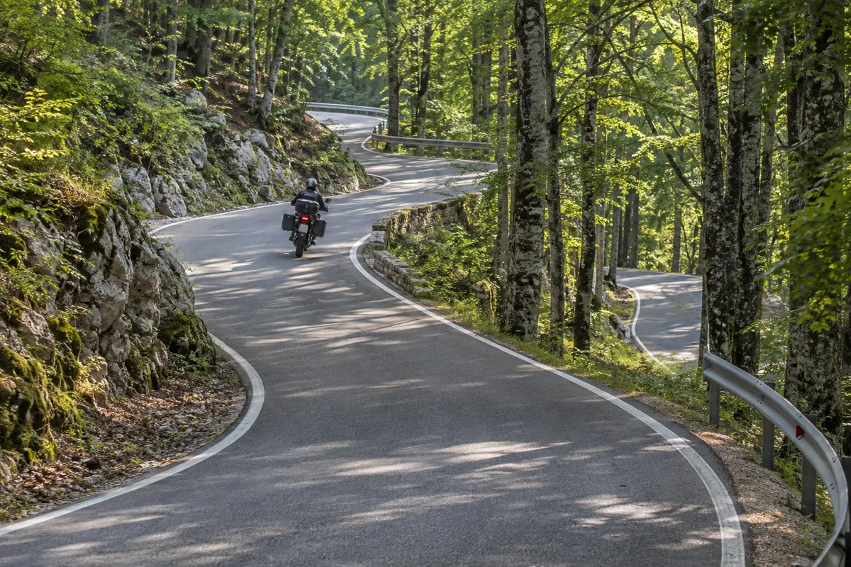
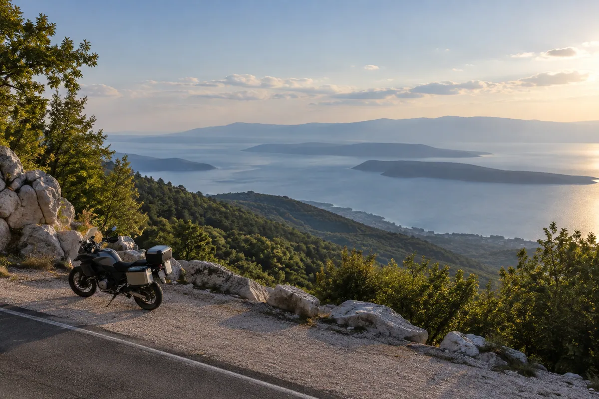
A short paved mountain crossing with a sustained forest climb, closely spaced bends and a contrasting descent into northern Istria.
Best for
Half-day road touring
Riders who prefer paved mountain roads
A scenic connection between Kvarner and Istria
Highlights
The old Učka regional road
Forest bends through Učka Nature Park
Poklon mountain pass
The descent toward Buzet
Before you set off
Practical details
Road type
Local, Mountain pass
Borders
No border crossings
Tolls
None
Ferry
Not required
Before you ride
Check current road conditions
Road closures, works and weather restrictions can change without a site update. Check the relevant road authorities shortly before departure and follow local signs and instructions. These links do not confirm that this route is open.
The route starts at 17 m and finishes at 84 m. It climbs 1917 m and descends 1849 m, ranging from 16 m to 967 m above sea level.
Total ascent
1917 m
Total descent
1849 m
Lowest point
16 m
Highest point
967 m
Elevation sampled in GPX track order, from start to finish.
Route stages and important stops
This paved crossing leaves the Kvarner coast at Opatija, climbs through the wooded slopes of Učka Nature Park and passes Poklon before descending across the Istrian side to Buzet. Poklon lies at 922 metres between Učka and Ćićarija. The park describes this road as the old regional route that linked Istria with the rest of Croatia before the Učka Tunnel opened in 1980.
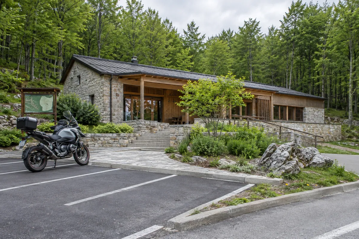
The route’s character comes from the contrast within a short distance: coastal streets give way to forest, repeated bends and a sustained mountain ascent, followed by an open descent into northern Istria. Poklon is a useful stopping point with parking, public toilets, a rest area and the park visitor centre. The pass name refers to the old custom of Istrian pilgrims bowing toward the Church of Our Lady of Trsat when they first saw Kvarner Bay from here.
Fuel, services and practical notes
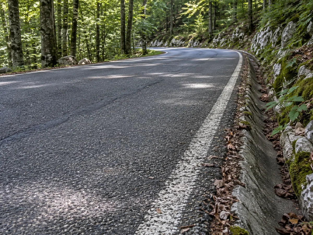
Allow about two hours for the recorded 50 km route without a long visit at Poklon. The surface is asphalt throughout, but the many bends, elevation change, shade and possible debris require a steady pace. Fuel before the climb in Opatija or on the Istrian side; Poklon is best treated as a rest and visitor stop rather than a fuel stop.
The season shown is a conservative riding recommendation, not a fixed annual closure. Use the road-condition link above to check HAK’s latest report shortly before departure for snow, ice, wind, works or temporary restrictions. Temperatures at the pass can be much lower than on the coast. Within the nature park, keep to roads and designated parking, minimize noise and do not continue from Poklon onto the restricted Poklon–Vojak asphalt road.